DGPS Survey

Introduction

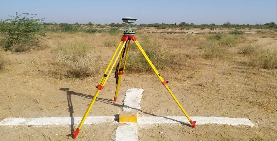
A DGPS Survey (Differential Global Positioning System Survey) is an advanced surveying method that improves the accuracy of standard GPS by using a network of fixed ground-based reference stations. DGPS enhances positional accuracy to within a few centimeters, making it ideal for high-precision surveying and mapping applications.

What is DGPS?

Differential GPS (DGPS) is a refinement of the Global Positioning System (GPS) that reduces errors caused by atmospheric conditions, satellite clock drift, and signal delays. It works by comparing signals received by a stationary base station (with a known location) and a mobile rover unit. Corrections calculated by the base station are sent in real-time to the rover, significantly increasing positional accuracy.


Key Components

  • Base Station – A fixed GPS receiver at a known location that calculates correction data.

  • Rover – A mobile GPS receiver that moves around the survey area and applies the corrections.

  • Radio Link or GSM Modem – Transmits correction signals from the base to the rover.

  • Controller/Data Collector – Logs coordinates and stores data.

  • Software – Used for post-processing and mapping.


Surveying Procedure

  1. Setup Base Station – Install the base station over a known control point.

  2. Initialize Rover – Connect and configure the rover to receive real-time corrections.

  3. Data Collection – Move the rover to different survey points and record accurate coordinates.

  4. Post-Processing (if required) – Apply corrections in software to further refine accuracy.

  5. Data Export – Extract and format data for use in CAD, GIS, or other mapping systems.


Applications

  • Topographic and cadastral mapping

  • Road and railway alignment

  • Utility mapping and infrastructure surveys

  • Coastal and marine navigation

  • Precision agriculture

  • Mining and quarrying


Advantages

  • High positional accuracy (sub-meter to centimeter level)

  • Real-time corrections for immediate results

  • Works in remote or open areas where traditional methods are difficult

  • Efficient data collection over large areas

  • Compatible with GIS and CAD software for seamless integration


Conclusion

DGPS Surveying is a powerful and precise technique for capturing geospatial data with high accuracy. Its ability to provide real-time corrected positioning makes it a go-to method for many modern surveying tasks, especially where accuracy and efficiency are critical.

Market Analysis

How can we help you?

Contact us at the Consulting WP office nearest to you or submit a business inquiry online.

Scroll to Top